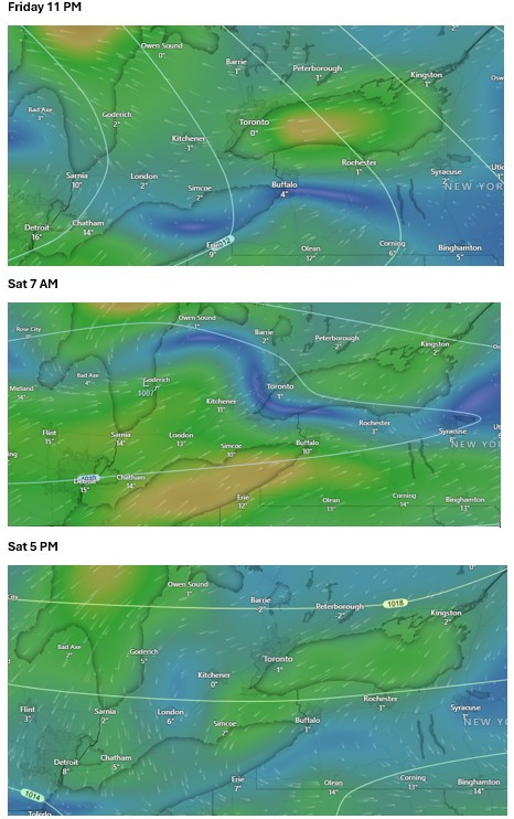
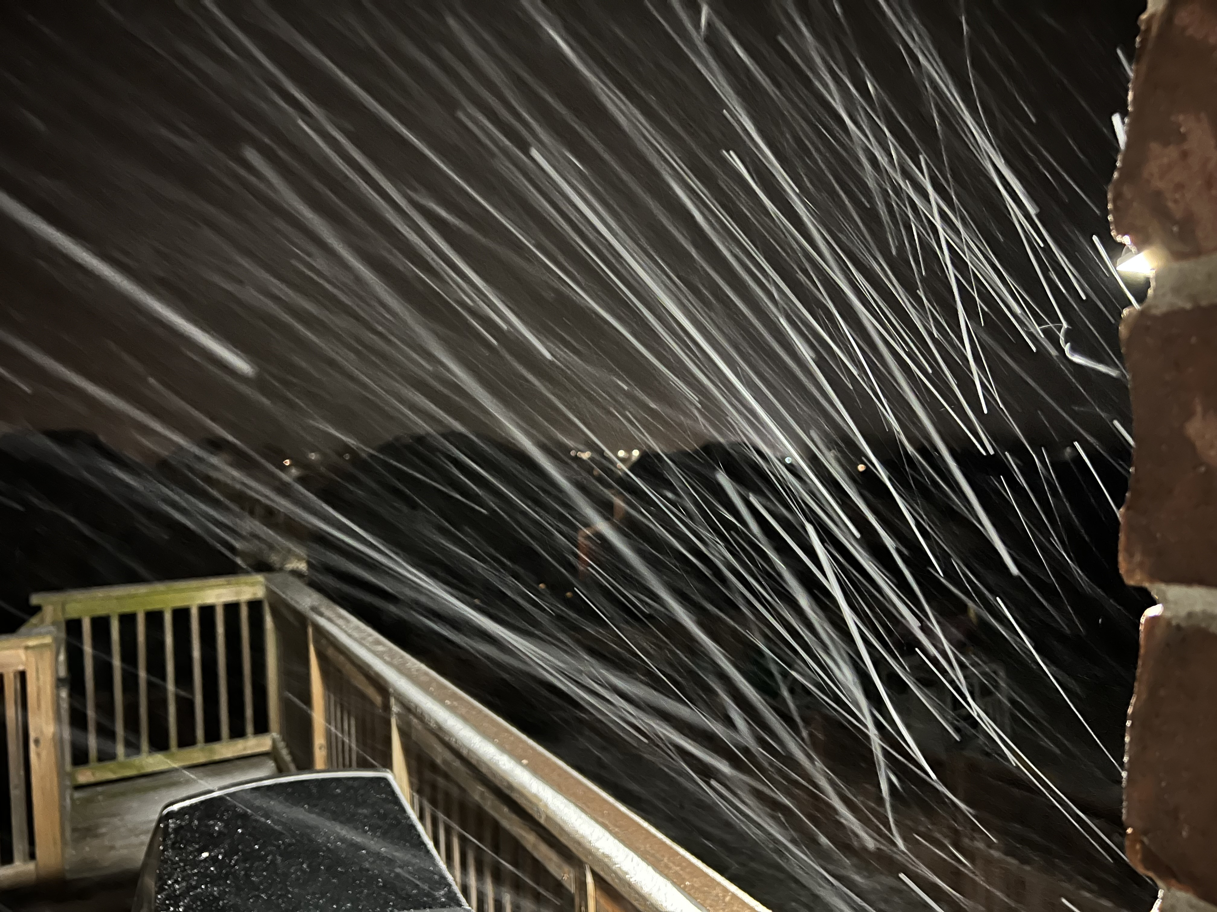
The prolonged freezing rain is due to 2 weather systems approaching: First an AB clipper that is following a more southerly path than usual through South Dakota and into Wisconsin, arriving in s. ON overnight Friday though Saturday night. Then a Colorado low for Sunday-Monday that will pass along the Lake Erie shoreline.
For areas south of line from Hamilton to Sarnia, it’ll be an all-rain event until it ends. Rain may be mixed with freezing rain at times closer to Hamilton but very minor accretion. SWSs now for areas north of that line to central Ontario and eastern Ontario, precip will start as freezing rain and the accretion amounts will depend on the duration of temps above freezing. Less accretion closer to the GTA, more away, especially from Georgian Bay SE to Cornwall.
GFS model for temps. Colours are wind speed. Blue less than 20 km/h, green 20-35 km/h. The blue in the first 2 pics is essentially the warm associated with the AB clipper