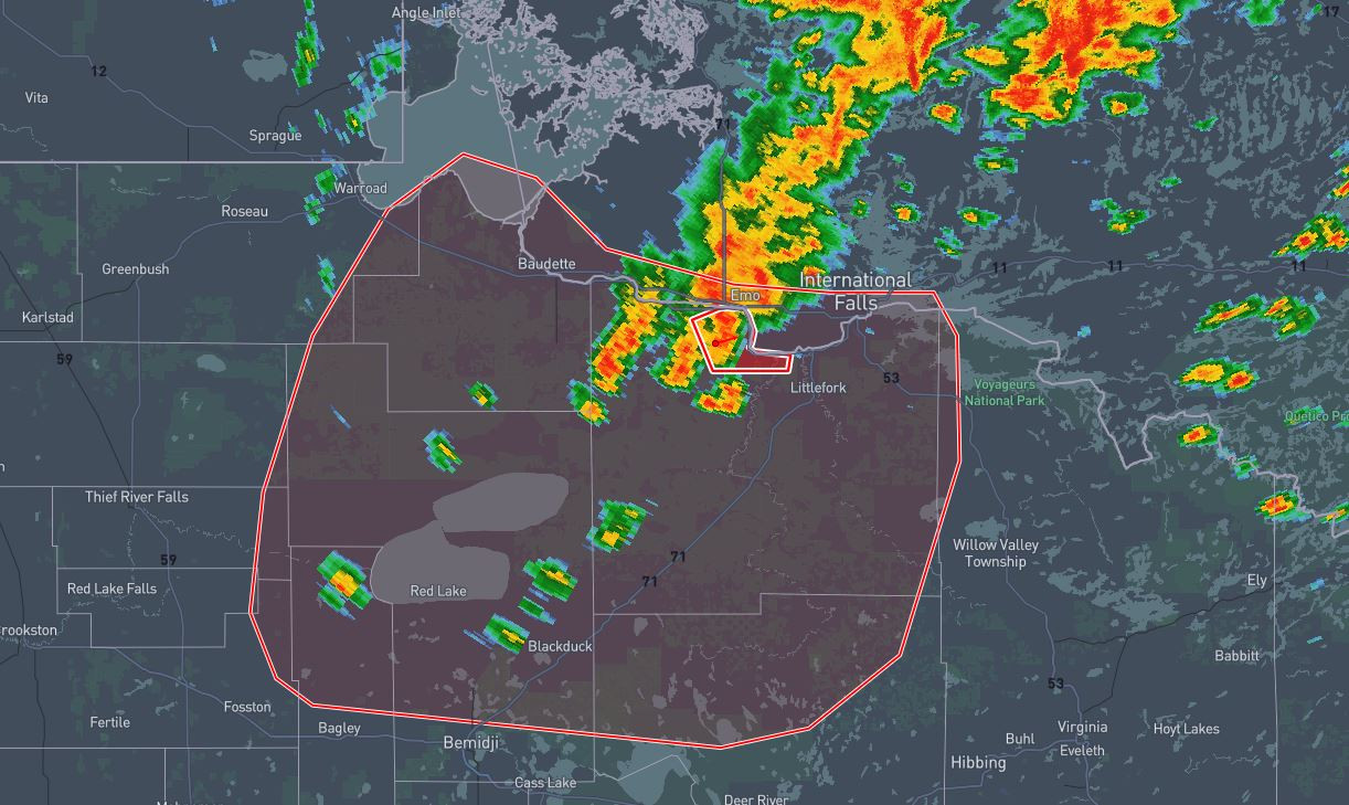
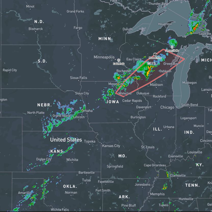
EXPIRED
7:34pm CT 6/22/25
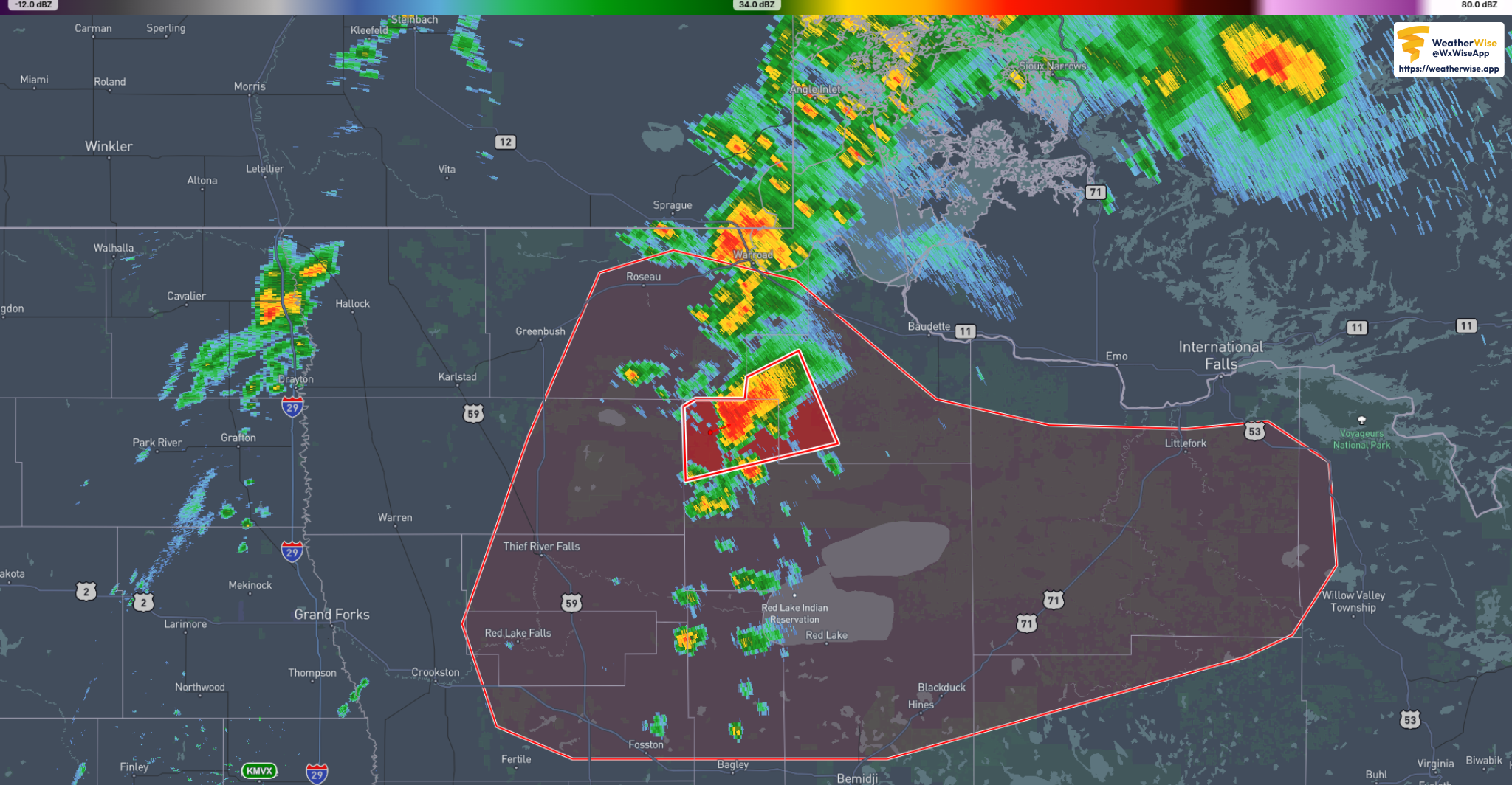
NWS TORNADO WARNING
244
WWUS53 KFGF 230020
SVSFGF
Severe Weather Statement
National Weather Service Grand Forks ND
720 PM CDT Sun Jun 22 2025
MNC007-077-089-230100-
/O.CON.KFGF.TO.W.0024.000000T0000Z-250623T0100Z/
Marshall MN-Beltrami MN-Lake of the Woods MN-
720 PM CDT Sun Jun 22 2025
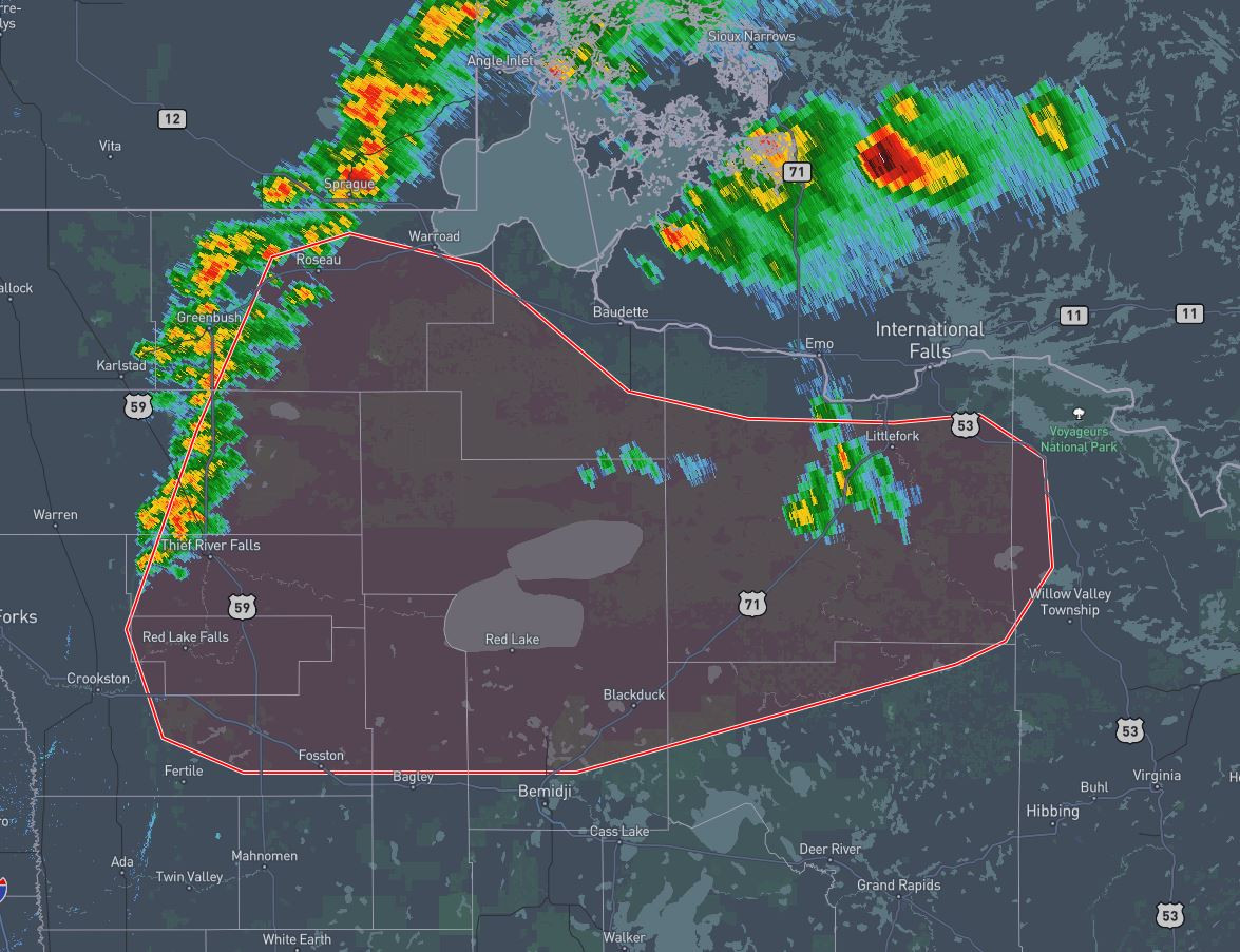
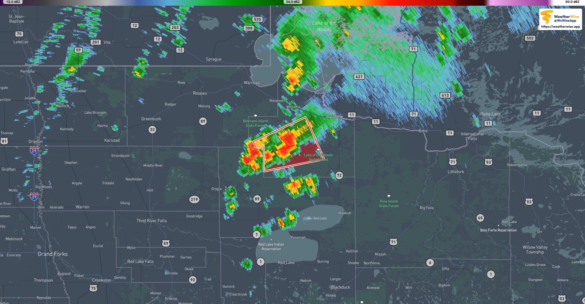
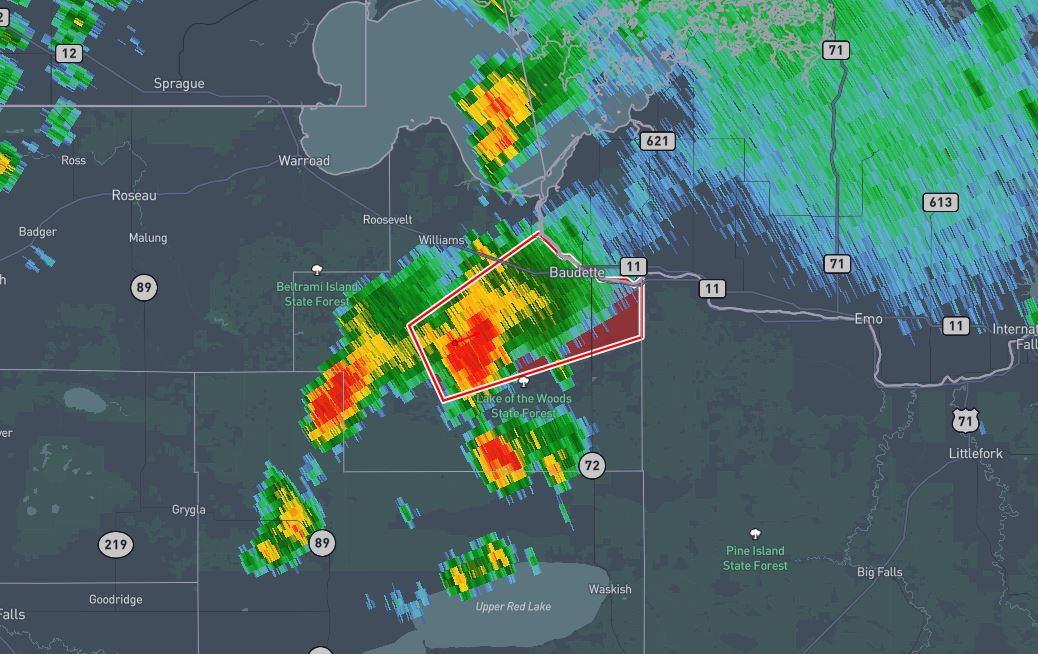
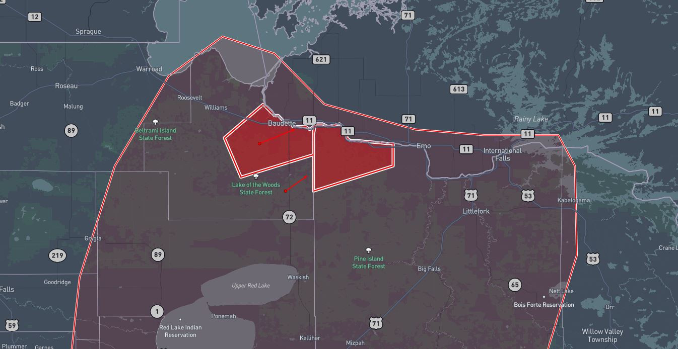
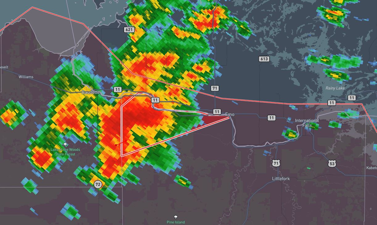
…A TORNADO WARNING REMAINS IN EFFECT UNTIL 800 PM CDT FOR EAST
CENTRAL MARSHALL…NORTHWESTERN BELTRAMI AND SOUTHWESTERN LAKE OF THE
WOODS COUNTIES…
At 720 PM CDT, a confirmed tornado was located 7 miles southeast of
Skime, or 29 miles south of Roseau, moving east at 30 mph.
HAZARD…Damaging tornado and quarter size hail.
SOURCE…Weather spotters confirmed tornado.
IMPACT…Flying debris will be dangerous to those caught without
shelter. Mobile homes will be damaged or destroyed. Damage
to roofs, windows, and vehicles will occur. Tree damage is
likely.
Locations impacted include…
Norris Camp and Gates Corner.
PRECAUTIONARY/PREPAREDNESS ACTIONS…
To repeat, a tornado is on the ground. TAKE COVER NOW! Move to a
basement or an interior room on the lowest floor of a sturdy
building. Avoid windows. If you are outdoors, in a mobile home, or in
a vehicle, move to the closest substantial shelter and protect
yourself from flying debris.
&&
LAT…LON 4831 9565 4848 9574 4854 9555 4854 9535
4860 9534 4867 9513 4842 9497
TIME…MOT…LOC 0020Z 249DEG 27KT 4844 9553
TORNADO…OBSERVED
MAX HAIL SIZE…1.00 IN