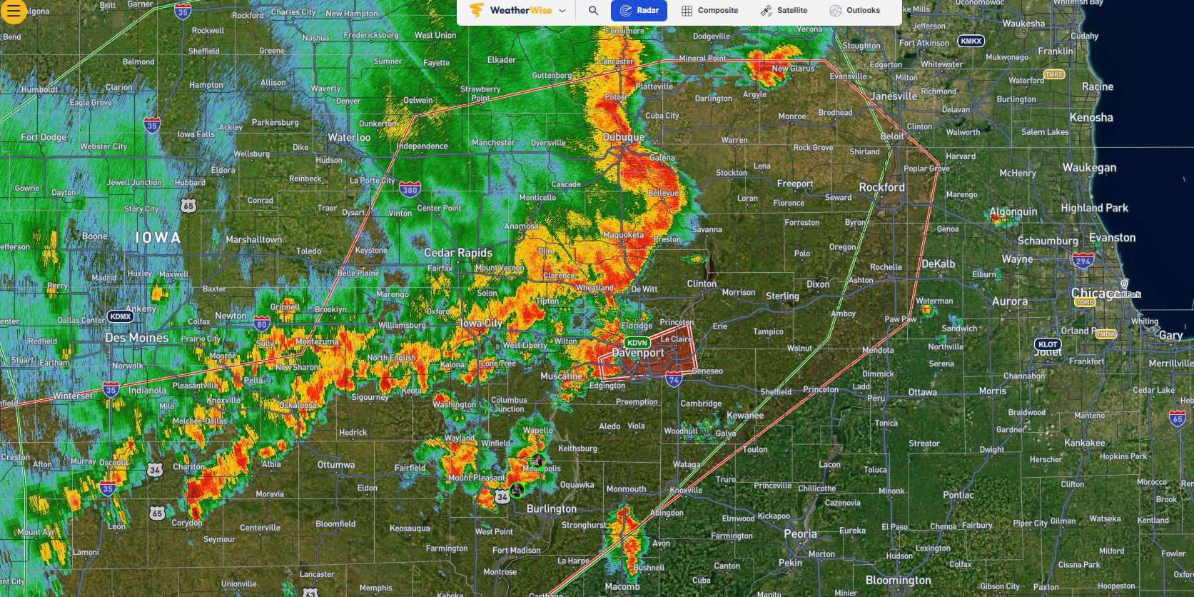
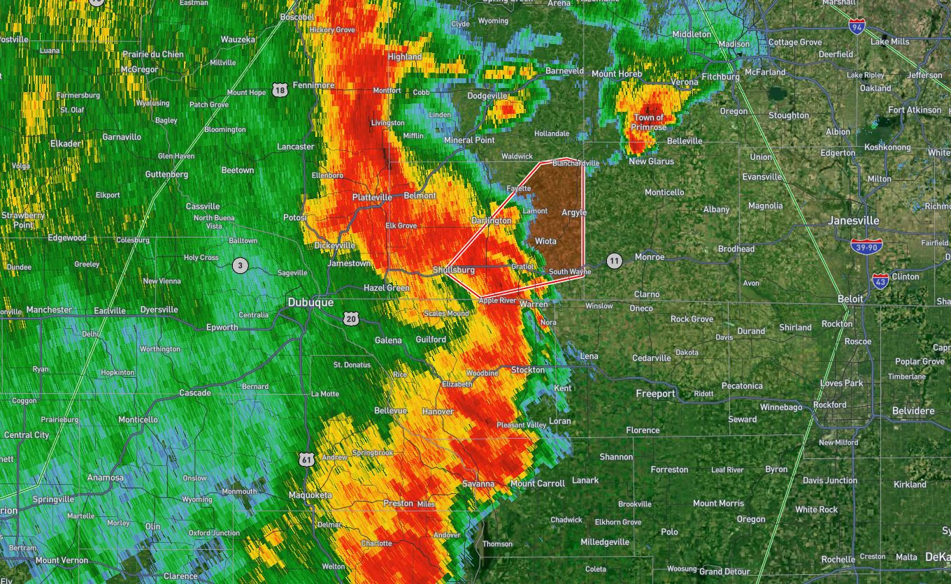
EXPIRED
864
WWUS53 KDVN 102256
SVSDVN
Severe Weather Statement
National Weather Service Quad Cities IA/IL
556 PM CDT Thu Jul 10 2025
IAC055-061-102330-
/O.CON.KDVN.TO.W.0021.000000T0000Z-250710T2330Z/
Dubuque IA-Delaware IA-
556 PM CDT Thu Jul 10 2025
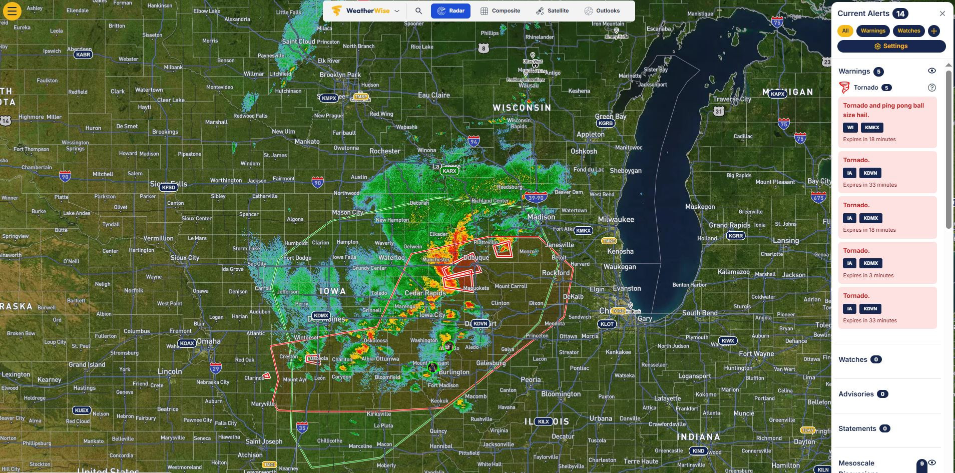
…A TORNADO WARNING REMAINS IN EFFECT UNTIL 630 PM CDT FOR WEST
CENTRAL DUBUQUE AND NORTHEASTERN DELAWARE COUNTIES…
At 556 PM CDT, a severe thunderstorm capable of producing a tornado
was located over New Wine Park, or 16 miles east of Manchester,
moving southeast at 20 mph.
HAZARD…Tornado and quarter size hail.
SOURCE…Radar indicated rotation.
IMPACT…Flying debris will be dangerous to those caught without
shelter. Mobile homes will be damaged or destroyed. Damage
to roofs, windows, and vehicles will occur. Tree damage is
likely.
Locations impacted include…
Dyersville, Epworth, Farley, New Vienna, Worthington, Luxemburg,
Bankston, Graf, Bankston Park, New Wine Park, Petersburg, Camp Little
Cloud, and Lattnerville.
PRECAUTIONARY/PREPAREDNESS ACTIONS…
TAKE COVER NOW! Move to a basement or an interior room on the lowest
floor of a sturdy building. Avoid windows. If you are outdoors, in a
mobile home, or in a vehicle, move to the closest substantial shelter
and protect yourself from flying debris.
If a tornado or other severe weather is spotted, report it to the
National Weather Service or your local nearest law enforcement agency
who will send your report. This act may save lives of others in the
path of dangerous weather.
Torrential rainfall is occurring with this storm, and may lead to
flash flooding. Do not drive your vehicle through flooded roadways.
&&
LAT…LON 4251 9084 4236 9109 4255 9128 4259 9120
4263 9113
TIME…MOT…LOC 2256Z 323DEG 19KT 4252 9114
TORNADO…RADAR INDICATED
MAX HAIL SIZE…1.00 IN